Recent data from the Pacific Ocean shows the transition to what is expected to be a Super El Niño is speeding up, with ocean temperatures in the central Pacific already warming to the 0.5 degrees Celsius threshold that marks El Niño conditions. Computer forecast models now suggest this summer’s system could grow into one of the strongest El Niño events ever observed, with the El Niño expected to fully develop sometime this summer.
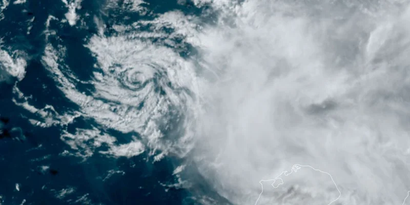
That matters now because the Eastern Pacific hurricane season begins Friday, and the evolving pattern is likely to boost tropical activity there while making the upcoming Atlantic hurricane season less active. The same setup could also bring a wet winter to the entire Southern Tier of the U.S., a prospect that will shape planning well before cold weather arrives.
The reason is baked into the climate cycle itself. El Niño is one phase of the El Niño-Southern Oscillation, or ENSO, which also includes La Niña and neutral conditions. El Niño means warmer than average water across the equatorial Pacific, and those warmer waters tend to increase upper-level wind shear over the Atlantic, making it harder for tropical storms to organize. In the Eastern Pacific, where hurricane season starts Friday, the opposite effect usually helps storms develop more readily.
The tension in this forecast is how quickly it has moved from possibility to expectation. A massive pool of warm water has been building in the Western Pacific and is now sloshing eastward, feeding the warming trend that computer models are flagging. Those models suggest this summer’s El Niño will likely be a Super El Niño, a designation used when water temperatures in the Central Pacific reach at least 2 degrees Celsius. If that happens, it would put the event among the most intense ever recorded. There is also a very high probability that El Niño conditions will persist through the end of 2026, extending the weather effects far beyond this season.
For now, the question is not whether El Niño is coming. It is how strong it becomes, and how much of the U.S. weather map it redraws before the year is out.